
English| USD
Suggested for you
More currencies
Choose a language
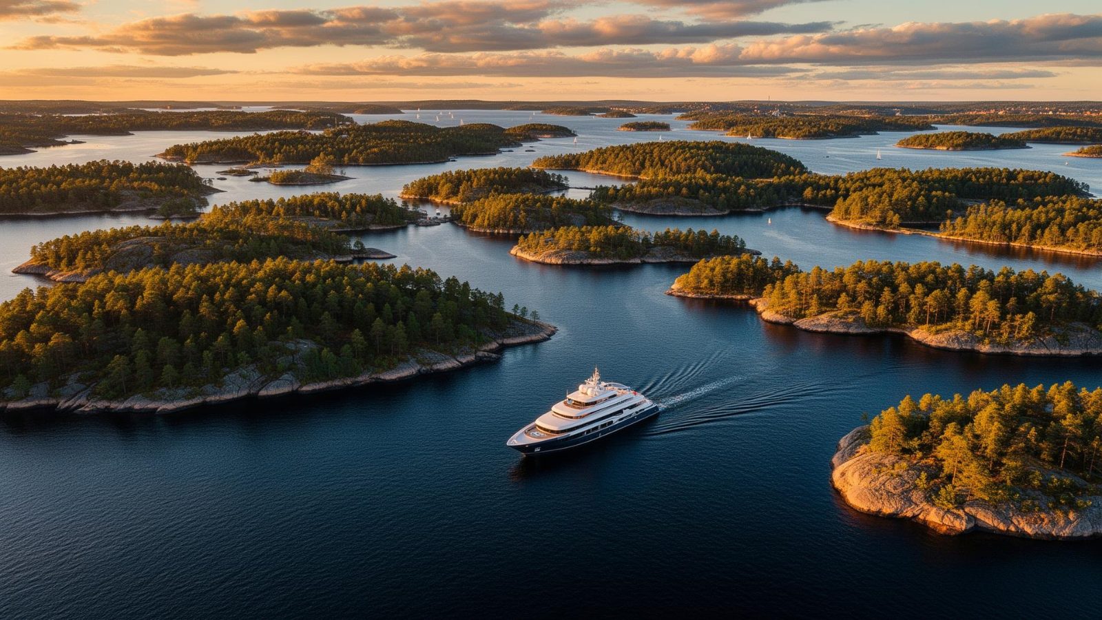
Stockholm's archipelago extends 60 kilometers into the Baltic Sea, forming one of the world's largest island systems within a single metro area. The answer to how many islands exist here depends entirely on where you draw the line between island and rock. This guide clarifies the official count and explains which islands matter for visitors.
Quick answer
The Stockholm archipelago contains approximately 30,000 islands, skerries, and rocks when counting every landmass above water, but only around 1,000 qualify as true islands under Sweden's geographic definition. Of these, fewer than 150 are inhabited year-round. The discrepancy stems from how Swedish authorities classify skerries versus islands—a skerry is a small rocky outcrop, while an island must support vegetation or human habitation. For practical purposes, about 50 islands are accessible by public ferry or organized boat tours.
The Swedish Mapping, Cadastral and Land Registration Authority distinguishes between skär (skerries), holmar (small barren islands), and öar (true islands) based on size, vegetation, and elevation above the waterline. A landmass becomes an island when it sustains plant life year-round or measures at least 50 square meters with permanent exposure above Baltic Sea level fluctuations. This classification explains why the commonly cited figure of 30,000 includes thousands of granite outcrops that disappear during spring high water or support only lichen and seabirds. The inner archipelago, closest to Stockholm's city center, holds the majority of inhabited islands—places like Vaxholm, Grinda, and Sandhamn where permanent communities, guest harbors, and historic settlements exist. These islands feature sheltered bays, mixed forests of pine and oak, and remnant agricultural landscapes from centuries of subsistence farming. The middle archipelago transitions to larger uninhabited nature reserves managed by the County Administrative Board, including Ängsö National Park and the bird sanctuaries of Bullerö. The outer archipelago consists almost entirely of low-lying skerries and wind-scoured rocks where only the lighthouse keepers' stations remain as human presence. Ferry access from Stockholm's Strömkajen and Strandvägen terminals reaches roughly 50 islands on scheduled routes operated by Waxholmsbolaget, the regional public transport company. Private tour operators extend that range to perhaps another dozen less-frequented islands, though many require advance booking and favorable weather. Navigation channels marked by red and green buoys thread through the labyrinth—the Swedish Maritime Administration maintains over 60,000 navigation marks across the archipelago, a figure that exceeds the island count itself in some tallies. Late summer offers the calmest seas and longest daylight for island exploration, while shoulder seasons see fewer visitors but reduced ferry schedules. The archipelago continues to shift. Post-glacial rebound lifts the land roughly 4 millimeters per year, gradually exposing new skerries and expanding existing islands. Storm surges and ice action reshape shorelines each winter. What qualifies as an island today may merge with its neighbor in a decade or vanish beneath reed beds as wetlands reclaim shallow straits. The official count remains an approximation, revised periodically as surveyors re-map the coastline and geologists track the slow emergence of bedrock from the Baltic's brackish waters.
“Post-glacial rebound lifts the land roughly 4 millimeters per year, gradually exposing new skerries and expanding existing islands.”
The Stockholm Archipelago is one of the largest in the Baltic Sea, featuring a complex geography that makes defining the exact number of islands a matter of classification.
Official estimates often cite approximately 30,000 entities, ranging from large inhabited islands to small rock formations.
There is no single international definition for what constitutes an island in this context, which leads to varying counts depending on whether small, uninhabited skerries are included.
The land in the Stockholm region is still rising due to post-glacial rebound, which causes new skerries to emerge from the sea while others merge over centuries.
Out of the thousands of islands, only about 200 are inhabited year-round, while many others contain seasonal summer cottages.
Geographers categorize the archipelago into the inner, middle, and outer zones, with the outer zone containing the highest density of smaller, exposed skerries.
Counting these landmasses is complicated by fluctuating sea levels and the difficulty of mapping submerged rocks that surface only at low tide.
The best time to explore the Stockholm Archipelago is during the early morning window of 07:00–10:00. Arriving during these hours allows you to bypass peak ferry crowds and gain additional time to traverse the islands.
Mild temperatures of 12°C–18°C
Long daylight hours provide maximum exploration time before the tourist season intensifies.
Warm weather between 18°C–23°C
This period features the most reliable warm conditions but requires careful planning to manage crowd levels.
Cooler autumn air averaging 10°C–15°C
Visitor numbers decline significantly, making it ideal for those seeking quieter boat tours.
—
Departing early between 07:00 and 10:00 ensures a tranquil transit experience across the archipelago.
Verdict: The optimal approach is to plan your visit for a weekday morning between 07:00 and 10:00 during the months of May or September.
The Stockholm Archipelago is located in Stockholm County, Sweden, and is primarily accessed via public ferry services departing from central Stockholm. Travelers can reach major islands by utilizing the extensive maritime network connecting the mainland to the archipelago's various transit hubs.
Waxholmsbolaget ferry from Strömkajen
Cinderella Boats from Strandvägen
SL Bus 670 to Vaxholm
The best arrival window is 07:00–10:00. Traveling during this early morning period helps avoid peak ferry crowds and provides more time to explore the islands.
There is no admission fee to access the Stockholm Archipelago. Costs for visitors are associated exclusively with ferry or boat transport to reach or travel between specific islands.
Verdict: A typical adult pays 0 SEK for entry, with total costs determined solely by their chosen ferry or boat route.
The Stockholm Archipelago is accessible at all times, providing constant access to the islands throughout the week.
Everything you need to know about how many islands in stockholm archipelago
The Stockholm archipelago is vast, consisting of approximately 30,000 islands, islets, and skerries scattered across the Baltic Sea. While this figure is widely cited, the exact number fluctuates based on how one categorizes individual rock formations. Understanding how many islands in stockholm archipelago exist highlights the immense scale of this maritime region.
While the archipelago contains around 30,000 landmasses, only about 200 of them are permanently inhabited. Most of the remaining islands remain wild, serving as natural habitats or private retreats. Visitors seeking to see how many islands in stockholm archipelago are accessible can easily reach the main hubs via public transit.
The most efficient way to navigate the archipelago is by using the public ferry system or specialized boat tours. These vessels connect the major populated islands and provide a scenic way to experience the water. Planning your trip around a reliable ferry schedule is the best strategy for island hopping.
There is no cost to enter the Stockholm archipelago, as it is a public region. However, you will need to purchase a separate ferry or boat ticket for any travel between the islands. Checking local transport options will help you understand how many islands in stockholm archipelago you can realistically visit in a single day.
The best arrival window is between 07:00 and 10:00 to avoid peak ferry crowds. Early morning travel also provides more time to explore the diverse landscapes of the archipelago. Visiting during this time ensures a quieter and more relaxed experience as you discover how many islands in stockholm archipelago await you.
Families are welcome in the archipelago, as many islands offer easy walking trails and picnic spots suitable for children. The ferry journeys themselves are often a highlight for younger travelers. Be sure to check which islands have facilities before planning your family excursion.
A common mistake is attempting to visit too many islands in a single day, leading to excessive time spent on boats rather than on land. It is more rewarding to select one or two destinations and explore them thoroughly. Prioritizing your stops allows for a deeper appreciation of the archipelago environment.
Best Archipelago Boat Tours
Read more GuideStockholm Archipelago Boat Tour Pricing
Read more GuideGetting to the Stockholm Archipelago
Read more GuideActivities in the Archipelago
Read more GuideArchipelago Boat Tour Routes
Read more GuideIs a Boat Tour Worth It?
Read more Tickets & toursPrivate Archipelago Boat Tours
Read more Tickets & toursArchipelago Cruises with Lunch
Read more Tickets & toursStockholm Archipelago Winter Boat Tours
Read more